
TRAILS & TREMHOOGTE
HIKING TRAILS IN REMHOOGTE
Professionally graded trails.
Rugged mountain terrain.
Big Magaliesberg views.
OUR TRAILS
Compare Remhoogte’s three professionally graded hiking trails.
CHOOSE YOUR ROUTE
From an easy 5 km trail to a challenging mountain route.
PLAN YOUR HIKE
Check distance, elevation, terrain and route information.
DAY VISITORS
You don’t need to stay overnight to explore the trails.
EXPLORE THE MOUNTAIN
Three Graded Trails. One Magaliesberg Landscape.
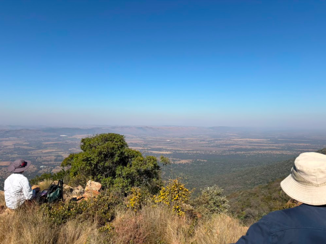
Choose the easy White Trail, step up to the more technical Blue Trail, or take on the steep and challenging Orange Trail. Each route is clearly marked, with its own distance, elevation and level of difficulty.
FIND YOUR ROUTE
White Trail
Easy
±5 km · 90 m elevation gain
An easier route following predominantly open farm tracks and less technical terrain.
Blue Trail
Moderate
±6 km · 180 m elevation gain
A more technical route through changing terrain, including wooded single track and rocky sections.
Orange Trail
Difficult–Extreme
±8 km · 460 m elevation gain
A steep and technical mountain route with rocky terrain, scrambling sections and significant elevation gain.
White Trail
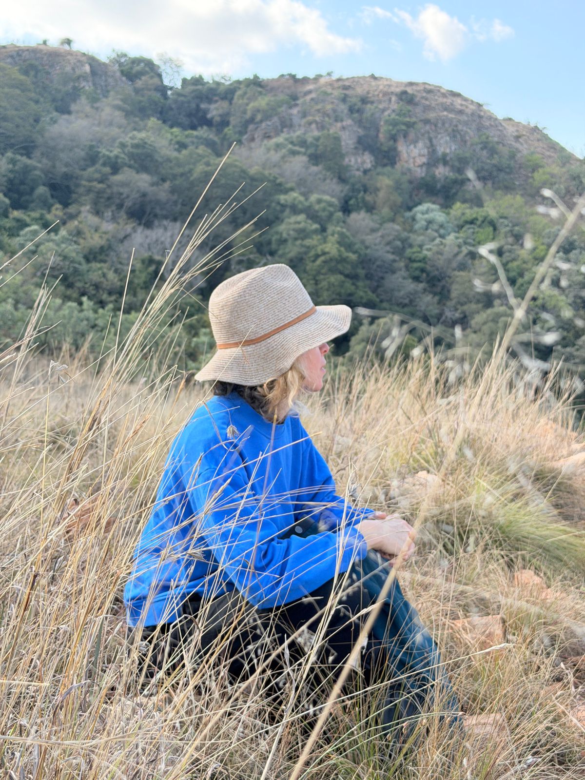
Remhoogte’s easiest graded hiking route is a good introduction to the farm and the Magaliesberg landscape.
At approximately 5 km with around 90 m of elevation gain, the White Trail follows predominantly open farm tracks and less technical terrain, making it the most accessible of Remhoogte’s three graded routes.
- Difficulty: Easy
- Distance: ±5 km
- Elevation gain: 90 m
- Terrain: Uneven but easy terrain, mostly on double tracks
- Navigation: Clearly marked with numbered trail markers
Scan to open the White Trail in AllTrails on your phone.

Blue Trail
The Blue Trail steps up the challenge with more varied and moderately technical terrain.
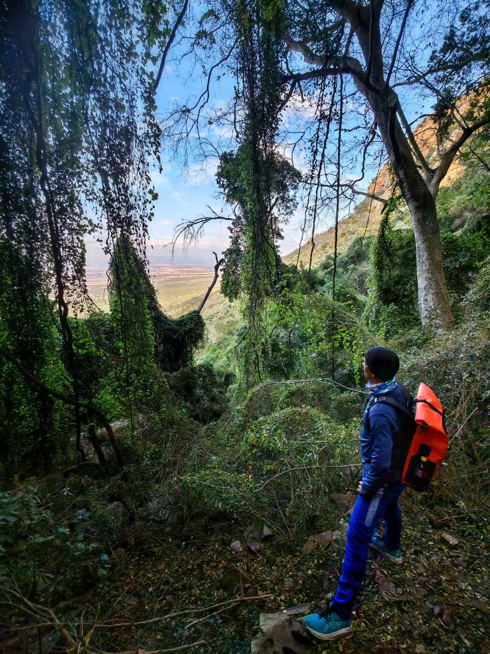
At approximately 6 km with around 180 m of elevation gain, the route moves from open tracks into wooded single trail and rocky sections, with loose or slippery rock underfoot in places.
- Difficulty: Moderate
- Distance: ±6 km
- Elevation gain: 180 m
- Terrain: Uneven, moderately technical terrain with sections of loose or slippery rock
- Navigation: Clearly marked with numbered trail markers and blue markers painted on rocks or trees
Scan to open the Blue Trail in AllTrails on your phone.

Orange Trail
The Orange Trail is Remhoogte’s most demanding graded hiking route, designed for experienced hikers looking for a steeper and more technical mountain challenge.
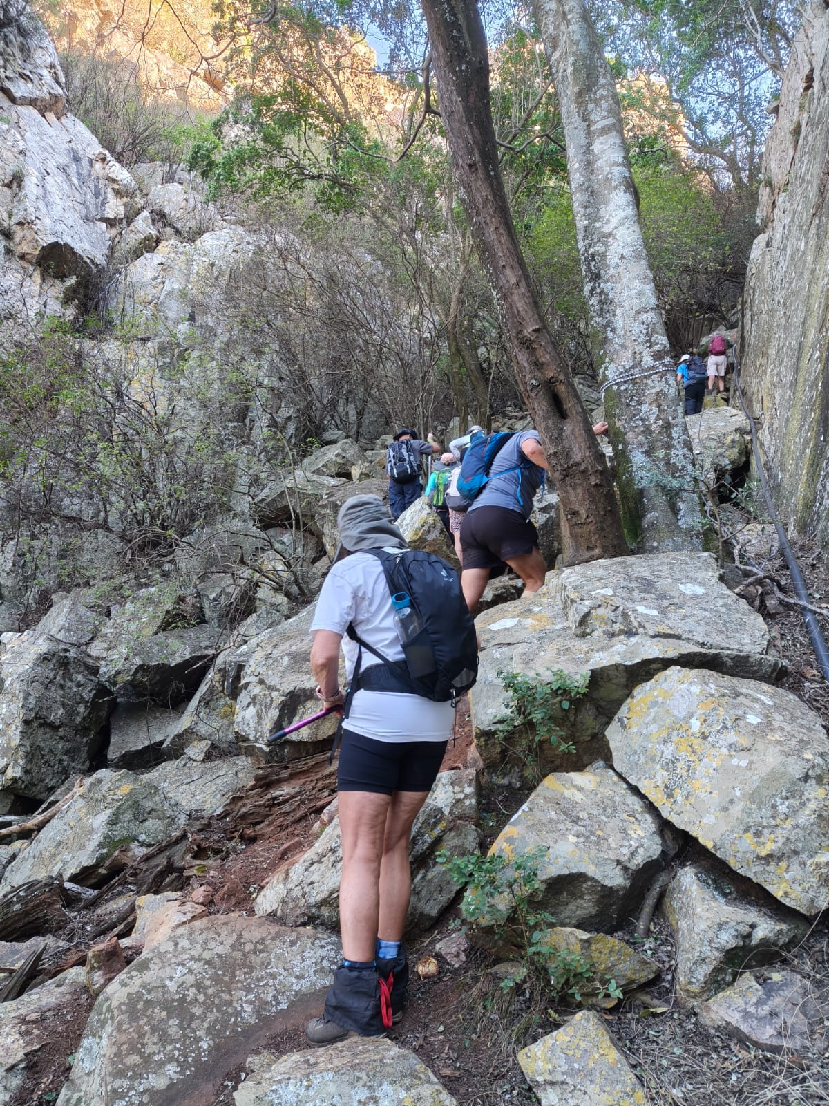
At approximately 8 km with around 460 m of elevation gain, the route includes very steep rocky sections, loose or slippery terrain and short scrambling sections before reaching the escarpment.
- Difficulty: Difficult–Extreme, depending on weather conditions
- Distance: ±8 km
- Elevation gain: 460 m
- Terrain: Uneven technical terrain with very steep sections of loose or slippery rock and short scrambling sections
- Navigation: Clearly marked with numbered trail markers and orange markers painted on rocks or trees
Scan to open the Orange Trail in AllTrails on your phone.

Call or WhatsApp
Email Remhoogte